The Wellington Botanic Garden was established in 1868, and we made our way through the gardens from the Cable Car outlook at the top of the hill.

We made our way past the Carter Observatory (which was closed), past the sundial and started our climb back to sea level, when we heard an unfamiliar noise that sounded a bit like a sick seagull … which turned out to be Kaka! We hadn’t seen or heard Kaka before, so this was quite something!


Continuing on our walk, we heard and saw various birds, including a few fantails or piwakawaka. I tried to get a photo of one of these but they’re such difficult birds to photograph, as they never seem to sit still for very long. They’re always flitting about from branch to branch, up and down, and back again. The only clear shot I managed to get was unfortunately of the back end of the fantail.

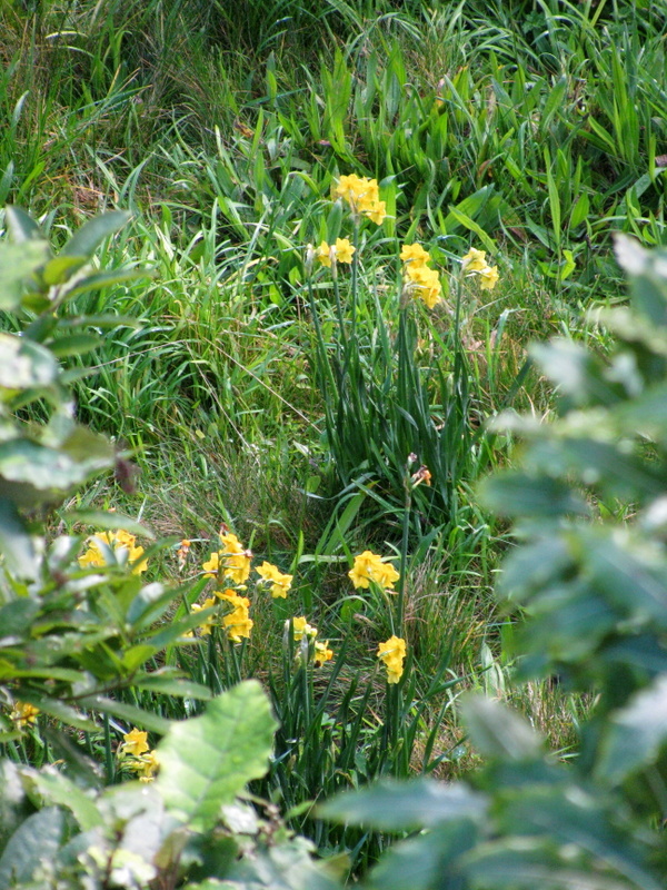
We stopped at the cafe in the Lady Norwood Rose Garden for a much needed coffee before meandering along various tracks through the garden. Opened in 1953, the Lady Norwood Rose Garden is named after Lady Norwood who was the wife of Sir Charles Norwood (former mayor of Wellington). The rose garden contains more than 300 varieties of roses, but unfortunately, our timing was very good and the roses weren’t in bloom. Apparently they’re a spectacular sight from November to May.

Next to the rose garden is the Peace Garden with the Peace Flame. The flame in the Peace Lantern is from the fires of the Hiroshima bombing, given to New Zealand by Japan in recognition of New Zealand’s work against nuclear weapons. This next bit of information is from Friends of the Wellington Botanic Garden:
“This lantern has had pride of place in the Wellington Botanic Gardens since 1975, when it was gifted to Wellington by the Japan Society of New Zealand. In 1994, it was adapted to house the Peace Flame. The Peace Flame was brought to Wellington in recognition of the capital’s commitment to a nuclear-free world.
In 1982, councillor Helene Ritchie drove a “nuclear-weapon-free zone” motion for the city council, narrowly winning with 10 to nine votes. Wellington led the way for the nation and, in 1984, New Zealand was declared nuclear-free under Prime Minister David Lange.
The flame, presented by Hiroshima City, was lit from the fires the atomic bomb created there. Fires from both Hiroshima and Nagasaki were preserved after the atomic bombs were deployed in 1945, and were united at a shrine in Tokyo in an act of remembrance.
The Wellington Botanic Gardens relocated the lantern to the Peace Garden next to the Lady Norwood Rose Garden, and it has now been home to the enduring flame for almost 20 years. The accompanying plaque “calls attention to the indiscriminate and uncontainable nature of nuclear weapons which kill beyond borders and generations”.
An excerpt from celebrated poet Hone Tuwhare’s No Ordinary Sun also marks the site of the lantern and Peace Flame. The poem acknowledges the devastation caused by the nuclear bombings, and was widely regarded from the 1960s onwards as a call to arms in New Zealand’s own fight to become nuclear-free.”

Waterfall and Peace Lamp

At the entrance to the Peace Garden is the Hiroshima Stone, a piece of the original Hiroshima Town Hall that was destroyed during the bombing.

After seeing these, we walked through the rose garden and around to the main entrance, so that we could see the Soundshell, explore the Fragrant Garden and visit the Duck Pond before making our way back down to the hill to the city’s waterfront.

Soundshell

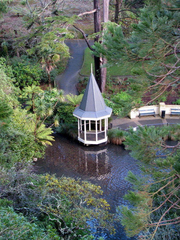
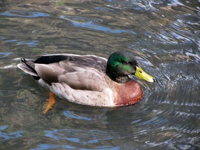
Duck Pond


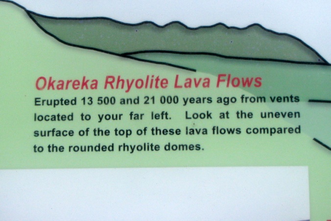

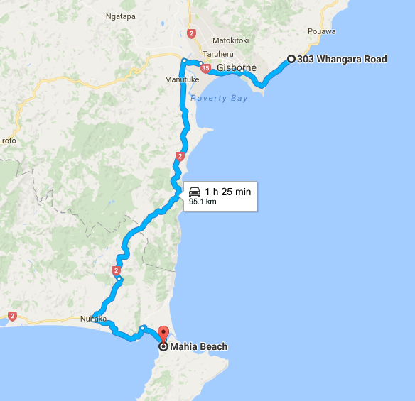


 Whangara is a small community located between


